3-dimensional
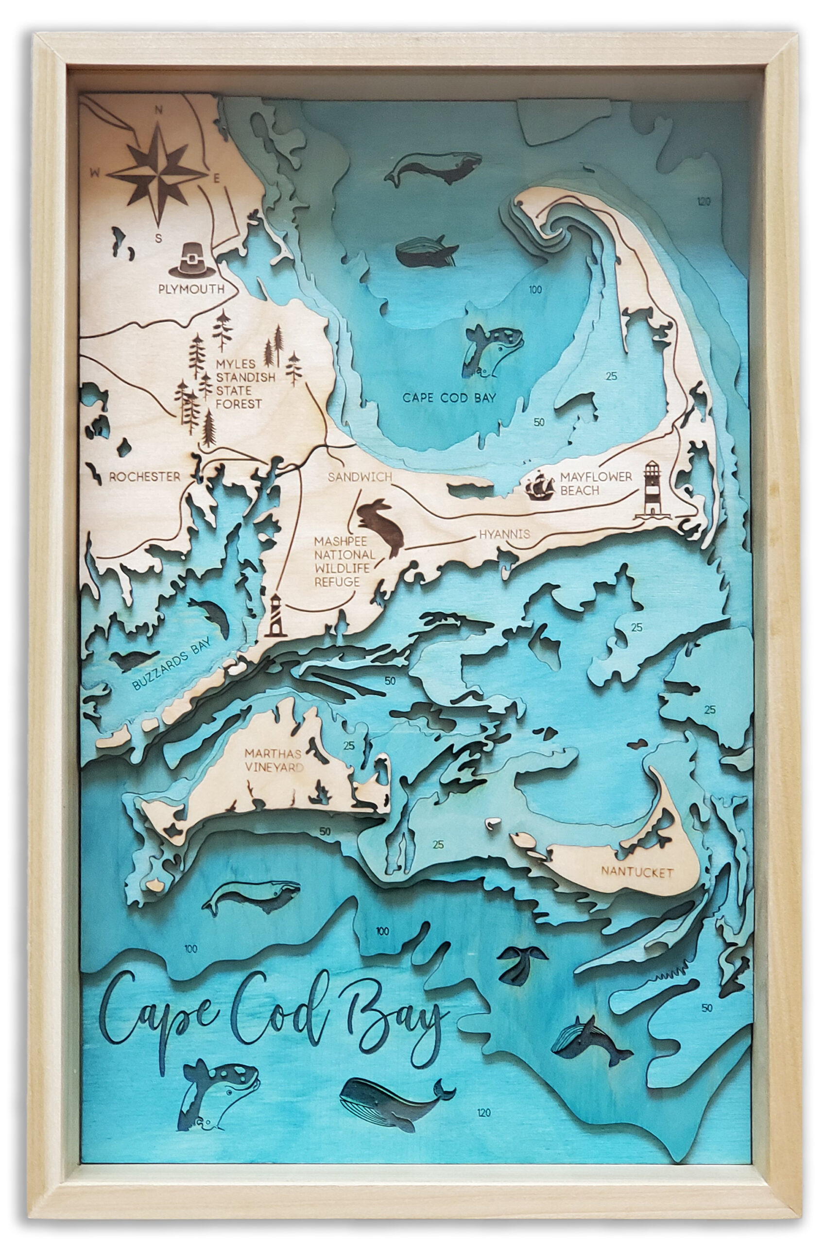
Layered Map Process
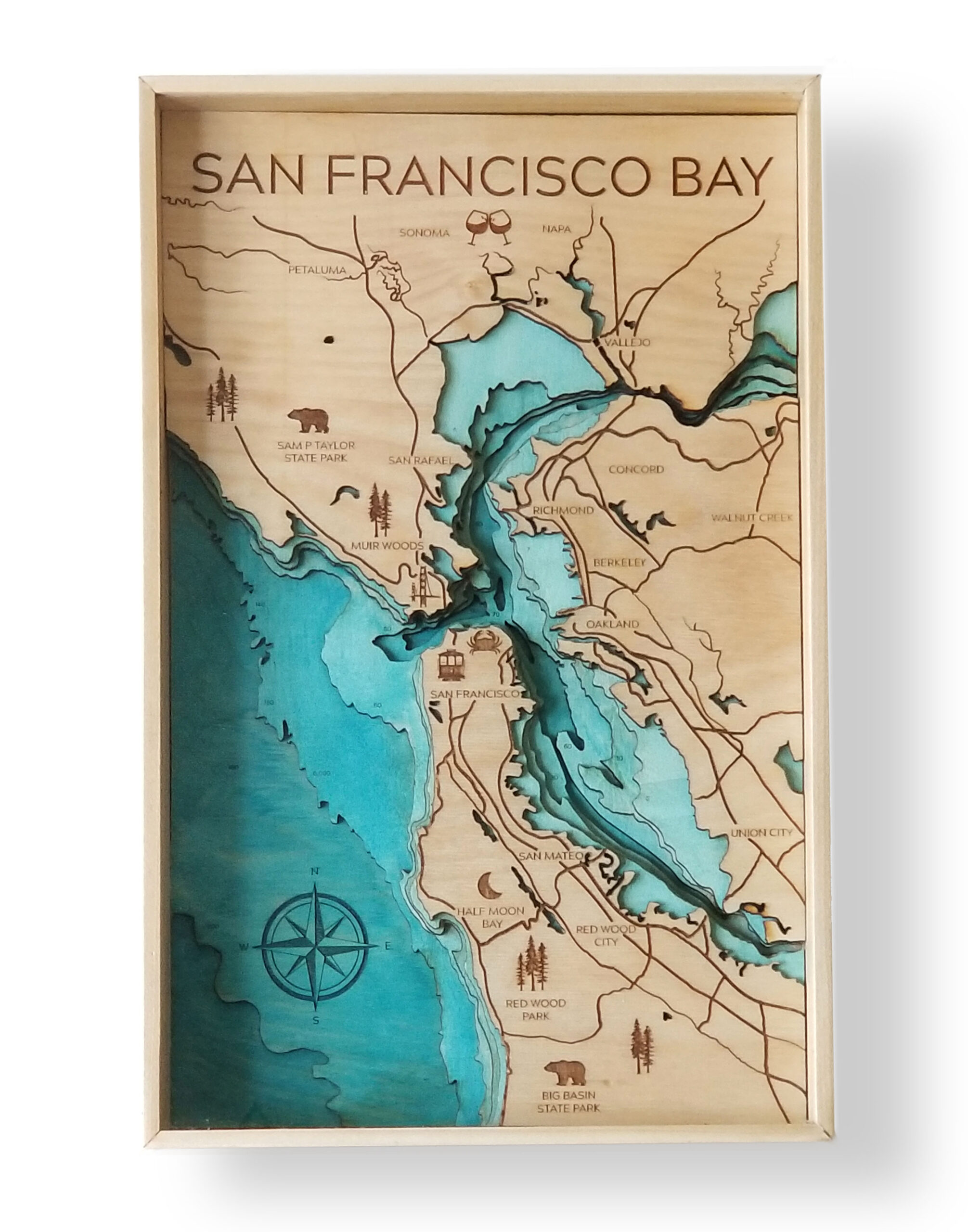
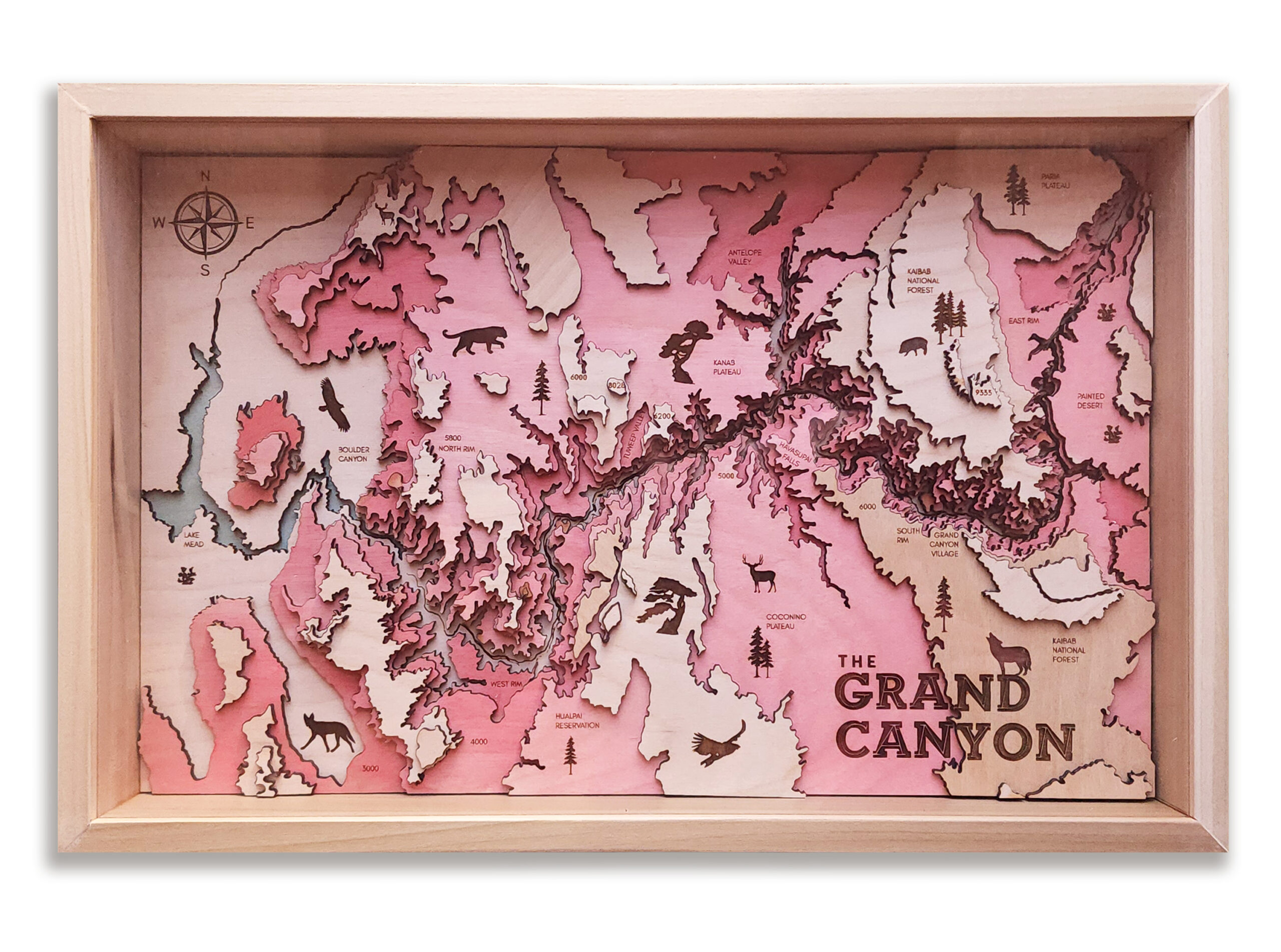
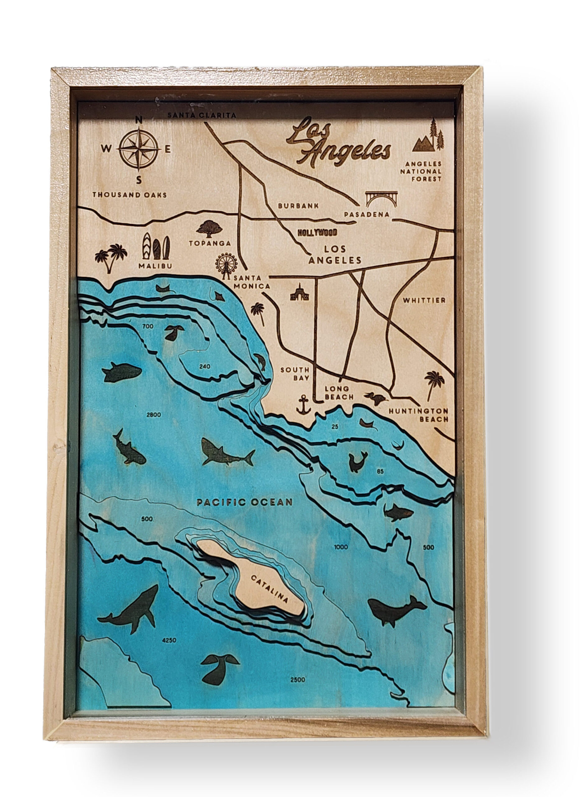
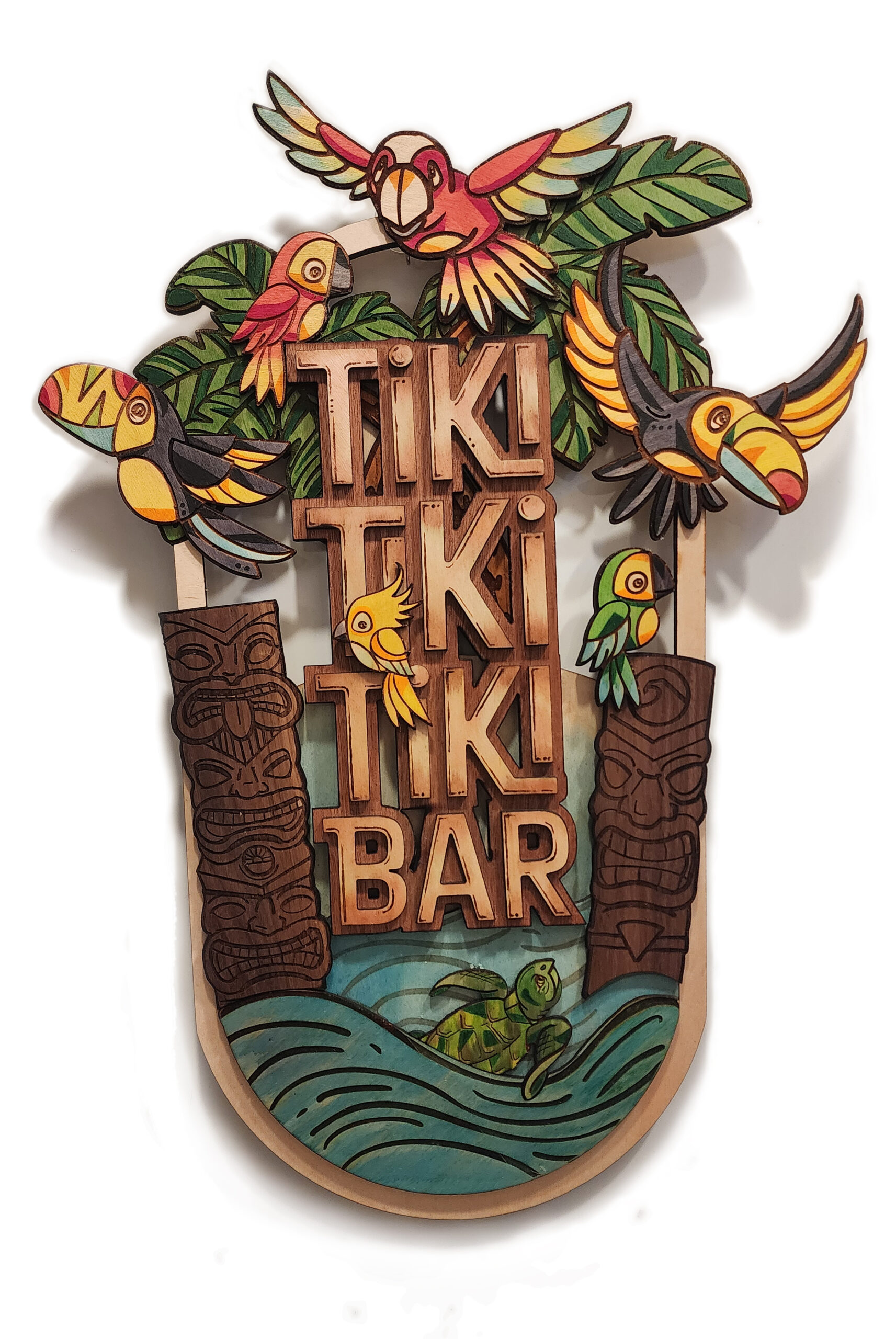
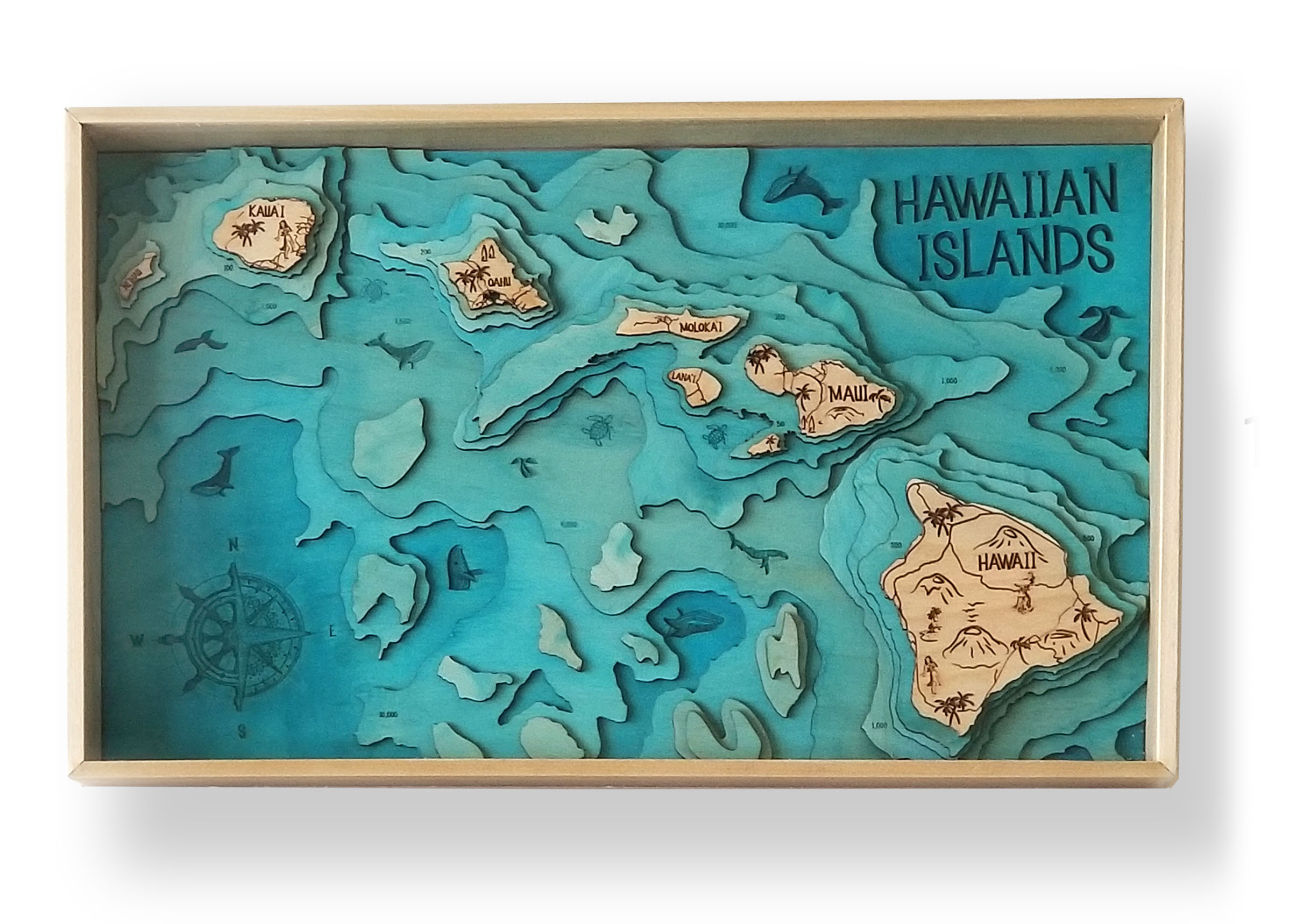
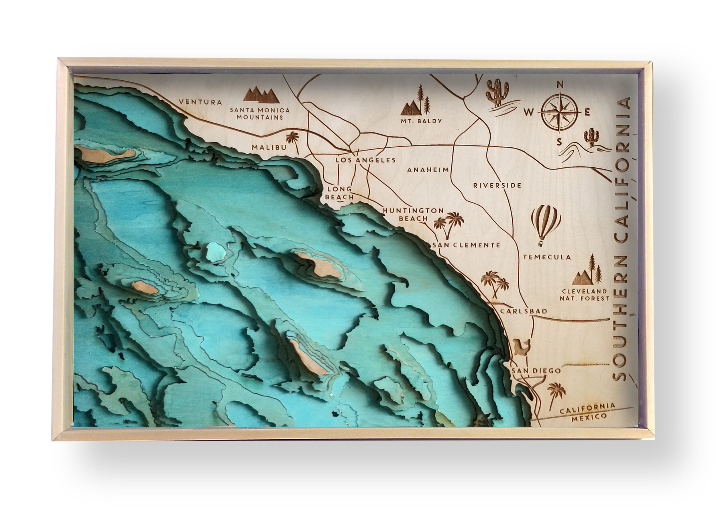
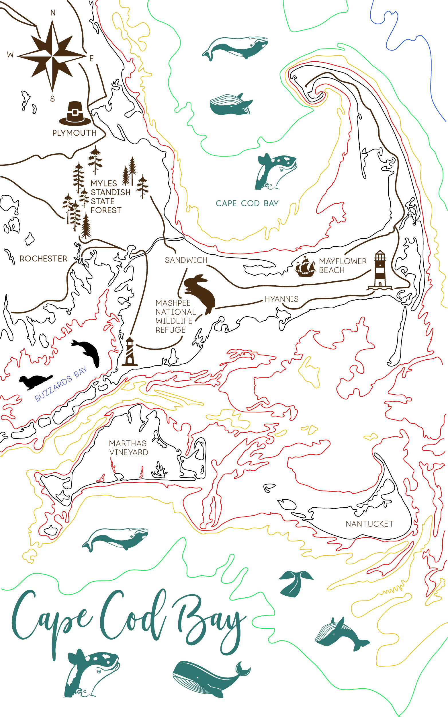
Each Map begins with extensive research. I seek out the most beloved landmarks in each area, look into the local wildlife, as well as learn what trees and plants are native to each location. I use bathymetric maps to get accurate measurements for each layer and create a design in Adobe Illustrator.
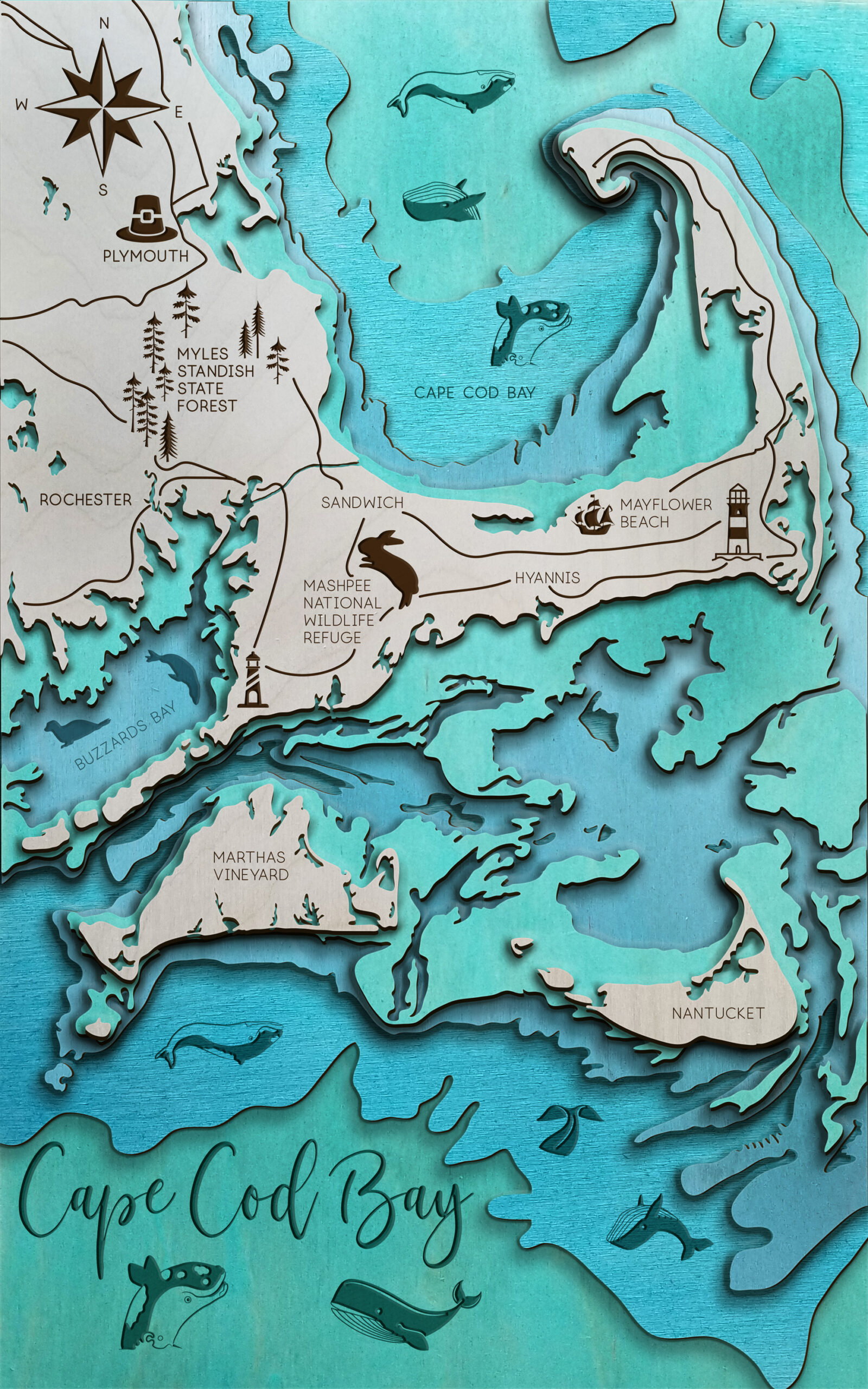
After the design is complete, I import into Photoshop to create a Digital Rendering in order to preview the potential final product. Each Layer is given plywood texture and cast Shadows so I can anticipate how it will look in natural light.
kristibockrath@gmail.com
